Walks, bridle paths and footpaths
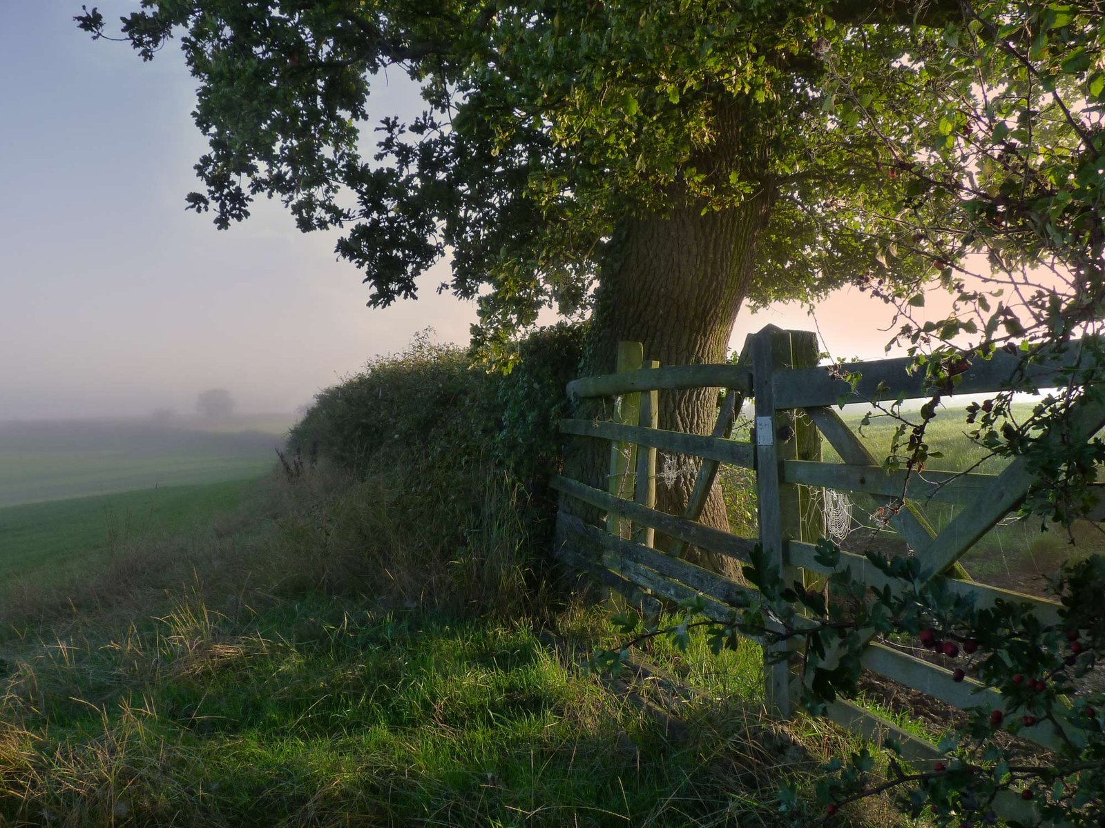
North Marston is located within a beautifully scenic location of North Buckinghamshire and is surrounded by rolling hills and agricultural land. There are a wealth of opportunities to explore this countryside on foot or by bicycle or horseback.
North Marston can be found on OS Map Number 192 (Buckingham & Milton Keynes) and we recommend using this map (or an equivalent) as well as a compass to guide you for all of the below walks. Please also pay attention to the weather forecast and dress appropriately, taking plenty of water.
Matthew's Way
Of special importance to North Marston, Matthew's Way is a circular route that loops around the village. The route is dedicated to Matthew Lane, a young boy from the village who died aged 11 months from complications following heart surgery. It is 10km in length, is waymarked throughout its length and is also detailed on OS Maps. You can start it by following the path to the left of the well, or by crossing the stile at the very bottom of St John's Lane off Quainton Road. It passes through Quainton (and very near Oving) so makes a wonderful walk to include a couple of refreshment stops (especially if you include the Pilgrim as a start and/or end point back in the village).
Local walks and trails
For dog walkers and horse riders, there is a good 4.5 mile route that is on bridle paths all of the way and therefore does not include any stiles. This walk isn't waymarked, so we suggest that you follow this on an OS Map if possible. It should also be noted that this walk gets very muddy after it has been raining!
- From the village centre, head up School Hill, past the school and church and then join Marstonfields Road, turning left (heading north) at the bend
- Marstonfields Road continues for approximately three quarters of a mile before it turns into a track crossing the fields
- Keep following this track in a northerly direction for another three quarters of a mile until you reach Green End (the minor road between Granborough and the A413)
- Turn right and walk for about 100 yards and then turn right again onto another bridle path, this time heading south/south east.
- This bridlepath can then be followed for about a mile and a half, just before you come to Buttermilk Farm. Note that the walk can be shortened by taking one of the two paths to the right that you will cross, but these are footpaths rather than bridlepaths and include stiles. You will want to follow this on a map if you choose this option.
- Just before Buttermilk Farm, take the right hand bridle path and follow this for about half a mile. Turn right again at the path junction and then follow the bridle path, ignoring any footpaths off to the sides.
- You join the very bottom of Pulpit Lane, turning right onto the track rather than heading up the hill. The track gives way to field paths, which you should follow until you come out onto Marstonfields Road.
- Follow the road past the church and school, back to the village centre - potentially stopping at the Pilgrim to enjoy a well earned drink
BBC Countryfile magazine has published another fantastic walk, taking in Quainton Hill and the village of Quainton. The walk is circular and the described version starts in Quainton. You can, of course, opt to start the walk at the 3 mile point in the description, which is in the heart of North Marston. Note that the walk describes The Bell pub - this was the previous name before it became The Pilgrim.
Long distance footpaths
There are three long distance footpaths that pass through the village - and these offer opportunities for shorter walks following easily navigable waymarks and defined routes on OS maps:
- Midshires Way: This 223 mile path links the Ridgeway National Trail with the Trans Pennine Trail across the shires of Middle England. In total it traverses seven counties (Buckinghamshire, Derbyshire, Gtr Manchester, Leicestershire, Milton Keynes, Northamptonshire and Nottinghamshire). The path passes through the village, starting at Marston Fields in the North and passes down Quainton Road before following the route out towards Hogshaw beore climbing Quainton Hill.
- Swan's Way: This is a 66 mile route, which starts in Salcey Forest (Milton Keynes) and finishes at Goring-on-Thames (Oxfordshire). Through North Marston it follows the same route as the Midshires Way - again starting at Marston Fields in the North and passing down Quainton Road before following the route out towards Hogshaw and Quainton Hill.
- Outer Aylesbury Ring: This is a 53 mile path, which loops around the Vale of Aylesbury. It follows higher ground than its cousin, the 32-mile Aylesbury Ring (and, indeed, the 12-mile Aylesbury Loop). It follows a more rural route through the village, coming in from the South via Oving and then following farmland out towards Quainton Hill.
Note should also be given to the North Buckinghamshire Way, which starts at the Ridgeway at Chequers Nature Reserve and finishes at the county boundary at Pulpit Hill. This 32 mile walk doesn't pass through the centre of North Marston, but does pass along the boundary out towards Hogshaw.